Topics
The Topics Section serves as a hub for selected key topics in new mobility and automated vehicles, and features a curated collection of articles, multimedia resources, and related research, providing a comprehensive overview of critical issues in the field. The Topics Section is organized to connect with both internal and external resources, offering in-depth insights for the readers. Each topic links to additional reference documents and resources (e.g., data, tools), ensuring all the necessary information for each selected topic is available in one convenient location.
Projects
Systems Analysis and Optimization |
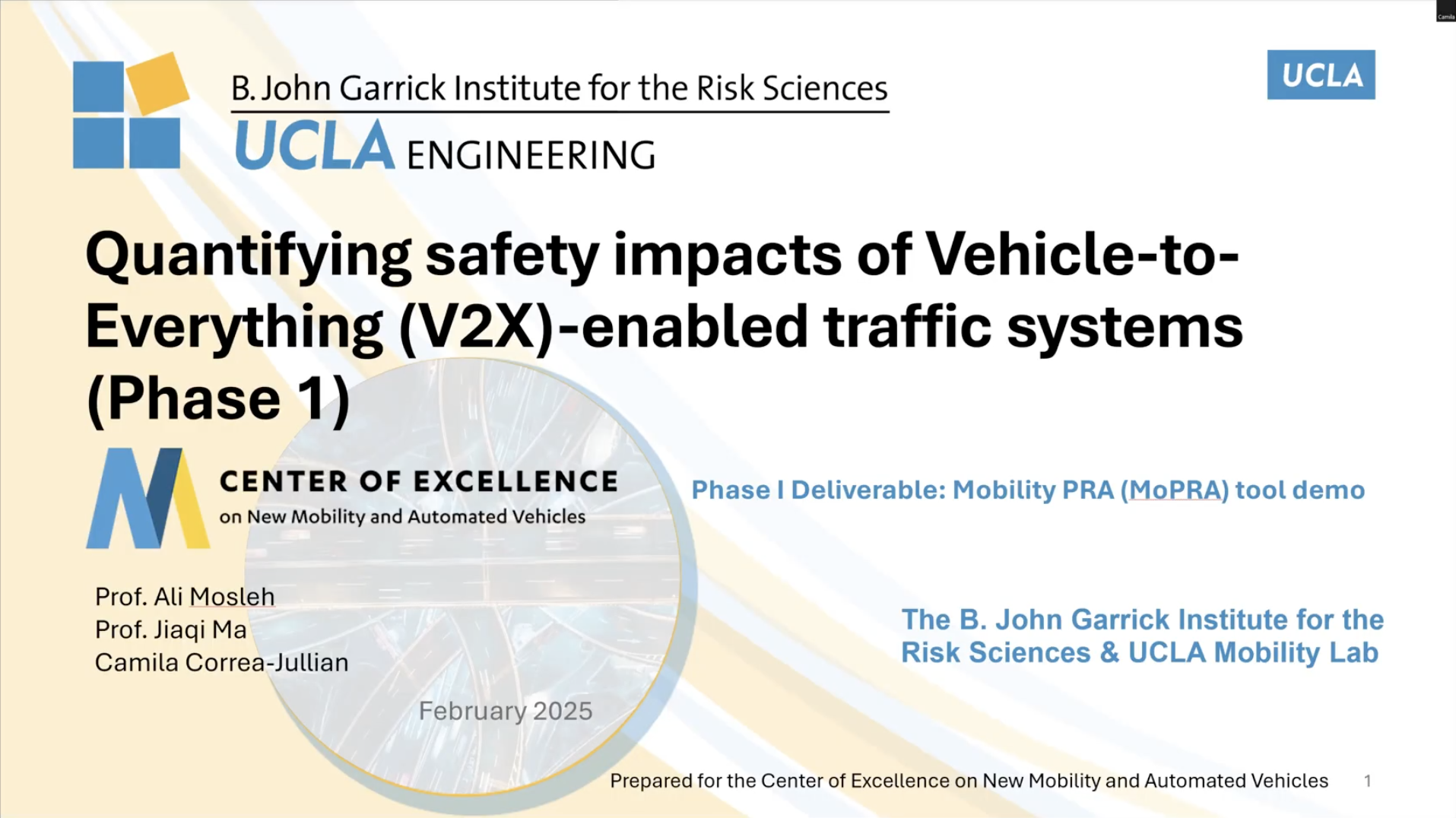
Phase 2 of the project Quantifying Safety Impacts of V2X-Enabled Traffic Systems aims to advance, extend, and communicate a structured, context-sensitive framework for quantifying and visualizing the safety impacts of V2X-enabled traffic systems.

Mobility, Land Use, and Urban Planning, Systems Analysis and Optimization |
Cities would need to facilitate a multi-modal mobility platform, which provides travelers with a range of flexible mobility options, such as fixed-route or flex-route public transit, micro-transit, ride-sharing, car rentals, bike-sharing, scooters, and walking routes, some of which can be potentially served by automated vehicles. Those options altogether have potential to help residents reach businesses, employment, health care and other essential points of interest. This research acquires mobility service data to understand travel behavior in choosing mobility options, optimize design of such a platform by optimally placing mobility hubs with multiple mobility options, with the ultimate goals of improving system efficiency, increasing ridership, reducing system cost and enhancing travel safety.

Systems Analysis and Optimization |
Transportation agencies and researchers struggle with fragmented, incomplete, or unavailable mobility data, making it difficult to accurately model mobility patterns and predict future transportation demand. While various datasets exist—such as GPS trajectories, public transit records, traffic sensors, and household travel surveys—they are often disconnected, limited in scope, or proprietary, preventing cities from making fully informed planning decisions. These datasets, when properly integrated, have the potential to improve urban planning, transportation optimization, and system operations. This project aims to review available mobility data sources critical for mobility pattern analysis, build a mobility data fusion pipeline by using multiple cross-domain data sources, allowing for detailed synthesis and modeling of urban and rural activities, travel behavior, demand, and trajectories, as well as estimation/generation of network-wide travel patterns. Ultimately, this project will provide a scalable, transferable data fusion framework that agencies can use for demand prediction, transportation planning, and network optimization.
Publications
Report | 2025
Data | 2023
academic publication | 2024
academic publication | 2023
Projects

Mobility, Land Use, and Urban Planning, Systems Analysis and Optimization |
Cities would need to facilitate a multi-modal mobility platform, which provides travelers with a range of flexible mobility options, such as fixed-route or flex-route public transit, micro-transit, ride-sharing, car rentals, bike-sharing, scooters, and walking routes, some of which can be potentially served by automated vehicles. Those options altogether have potential to help residents reach businesses, employment, health care and other essential points of interest. This research acquires mobility service data to understand travel behavior in choosing mobility options, optimize design of such a platform by optimally placing mobility hubs with multiple mobility options, with the ultimate goals of improving system efficiency, increasing ridership, reducing system cost and enhancing travel safety.

Mobility, Land Use, and Urban Planning |
Autonomous vehicles, both individual and shared shuttles, offer significant mobility benefits, especially for users who lack use of a personal vehicle. However, there are barriers towards emulating the key parts of human-driven shared ride services, such as efficient rendezvous and good curb location selection. Human drivers solve these problems with limited impact on operational cost and safety, but autonomous vehicles struggle with this poorly defined, yet critical step. We seek to address these barriers by characterizing effective and user-focused rendezvous strategies, thereby helping decisionmakers and service providers improve service, enhance safety, and lower operational cost.

Mobility, Land Use, and Urban Planning |
As autonomous vehicles (AVs) and shared mobility gain traction, there’s an urgent need to quantify their land use impacts and reassess zoning requirements. The demand for traditional auto-serving facilities like gas stations, repair shops, and car dealerships is expected to wane, while the need for new types of spaces, such as fleet servicing centers and storage, will rise. This shift also redefines the layout and size of freight logistics areas to accommodate the integration of AV technology. Understanding these dynamics is crucial for urban planners and policymakers as they adapt zoning regulations to meet the evolving needs of urban landscapes. This research aims to provide concrete data on land use changes and identify zoning adjustments that support the transition towards a future where AVs and shared mobility solutions are prevalent, helping cities prepare for a sustainable and efficient transformation in urban land utilization.
Publications
academic publication | 2023

